
Lower Litchfield Hills
The Lower Litchfield Hills occupies the southwestern and south-central portion of Litchfield County, extending from the New York border and Housatonic Valley east toward the Waterbury area. It combines rolling hills, rivers, lakes, forests, historic villages, farmland and some of Connecticut's most recognizable small-town destinations, with New Milford and the surrounding Housatonic Valley providing the region's largest concentration of activity. Visitors will find a mixture of outdoor recreation, historic sites, art and antiques, scenic villages, cultural attractions and distinctive seasonal destinations, all connected by winding roads through classic New England countryside.
Towns Included:
Bethlehem, Bridgewater, Harwinton, Kent, Litchfield, Morris, New Fairfield, New Milford, Plymouth, Roxbury, Sherman, Thomaston, Warren, Washington, Watertown, Woodbury

The Main Cities Of This Region Are:
There are no incorporated cities in the Lower Litchfield Hills; the region is made up entirely of towns. New Milford is the largest and most active community in the region, however, and functions as an important commercial and cultural center for the Housatonic Valley. Its downtown sits along the river and has restaurants, shops, galleries, historic buildings and a traditional town green, while the surrounding portions of town quickly become rural, wooded and residential.
Major regional draws
State Parks, Lakes & Outdoor Recreation
Kent Falls State Park
Steep Rock Preserve
Lover's Leap State Park
Mount Tom State Park
Black Rock State Park
Lake Waramaug
Unique Destinations & Regional Draws
Abbey of Regina Laudis
White Flower Farm
Sandy Beach at Bantam Lake
Lake Lillinonah
Shopping in Washington Depot & New Preston
Elephant's Trunk Flea Market
History, Museums & Historic Sites
Tapping Reeve House & Litchfield Law School
Litchfield History Museum
Bellamy-Ferriday House & Garden
Glebe House Museum & Gertrude Jekyll Garden
Mine Hill Preserve
Northfield Knife Company Ruins
Scenic Villages, Arts & Antiques
Kent Village
Woodbury Antiques District
Litchfield Green & Historic District
New Milford Green & Historic Downtown
Railroads, Theaters & Cultural Attractions
Railroad Museum of New England & Naugatuck Railroad
Thomaston Opera House
Hollister House Garden
Institute for American Indian Studies
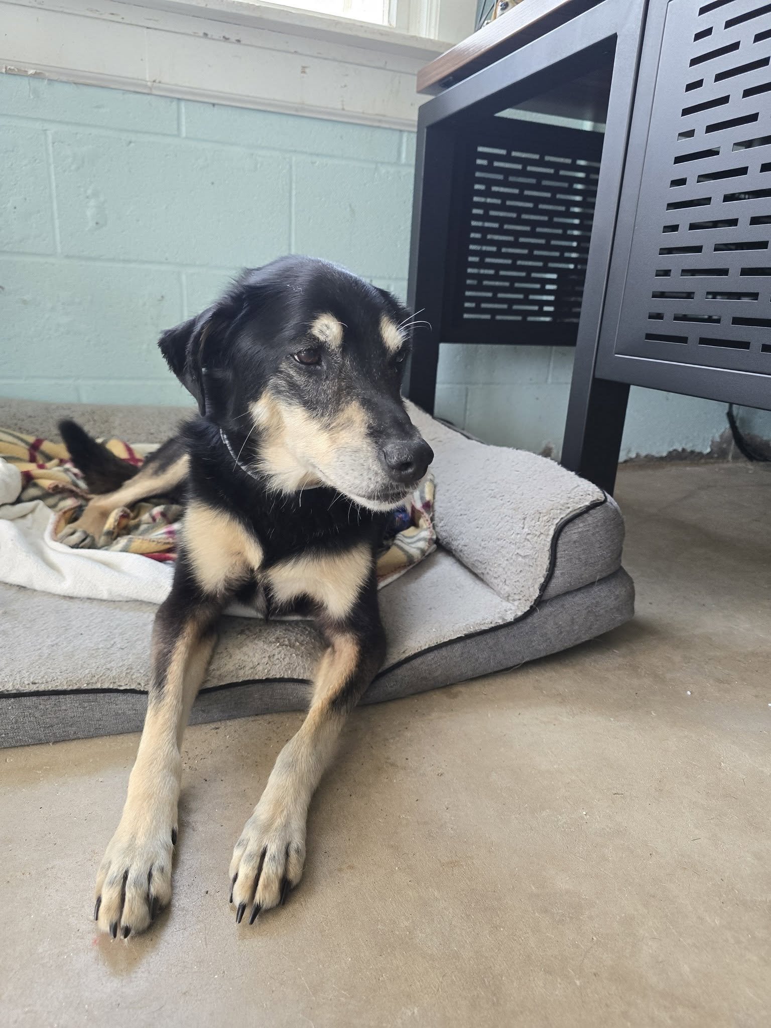
Meet Adoptable CT Shelter Dogs In This Region

The Main Highways In This Region Are:
Route 8 (Limited-Access Highway) is the only major limited-access highway running directly through the Lower Litchfield Hills. It enters the region through Watertown, continues north through Thomaston and Litchfield, passes through Harwinton and Torrington, and continues into the Upper Litchfield Hills. It provides the region's primary high-speed connection to Waterbury and the Naugatuck Valley.
There are no Interstate highways within this region.
The Main Routes In This Region Are:
U.S 6: A major east-west route crossing the southern portion of the region through New Fairfield, New Milford, Woodbury and Watertown, providing an important connection between the Housatonic Valley and the Waterbury area.
U.S. 7: The principal north-south route through the western side of the region, following the Housatonic Valley through New Milford and connecting the area with Danbury to the south and the Upper Litchfield Hills to the north.
U.S. 202: One of the region's major east-west roads, running through New Milford, Washington, Morris and Litchfield before continuing toward Torrington. It connects several of the region's most important town centers.
Route 4: An important east-west route connecting the Litchfield area with the Farmington Valley and communities farther west toward Sharon and Cornwall.
Route 8: Although Route 8 functions primarily as a limited-access highway through much of the region, its northern continuation beyond the freeway section also serves as a conventional numbered route through the Upper Litchfield Hills.
Route 61: Runs north-south through Bethlehem and connects the town with Woodbury and Litchfield.
Route 63: A major north-south route connecting Woodbury, Bethlehem and Litchfield before continuing north into the Upper Litchfield Hills.
Route 67: Connects the New Milford and Roxbury areas with the Housatonic Valley and communities toward the New York border.
Route 109: Runs through Washington and Morris, providing an important east-west connection between the New Milford/Washington area and Litchfield.
Route 118: Connects Litchfield with Harwinton and the Route 8 corridor, serving as an important east-west approach to the town.
Route 132: Runs through Woodbury and provides a secondary connection between Woodbury and surrounding communities.
Route 199: Serves the western portion of New Milford and connects the Housatonic Valley with Washington and the surrounding rural road network.
Route 341: Runs through Kent and connects the town with New Preston/Washington and the western Housatonic Valley.
Route 47: Runs through Washington and Woodbury, providing a scenic north-south connection between the two communities.
The Lower Litchfield Hills is much more dependent on two-lane roads than on major highways, and that is part of its character. Route 8 provides the high-speed spine on the eastern edge of the region, while Routes 7, 202, 6 and the state routes connect the villages and town centers through wooded hills, farmland, river valleys and historic districts. For someone exploring the region rather than simply crossing it, many of the most worthwhile destinations are reached by leaving the main highway and following these smaller roads.
To the North of this region is the “Upper Litchfield Hills” Region
To the East is the “North Central West” and “Near Waterbury” Region
To the South is the “Near Danbury” and “Near Waterbury” Region
To the West is New York
Meet Maverick with Harwinton animal control