
Near Norwich Region
The Near Norwich region sits in southeastern Connecticut around Norwich, extending north and west. The region occupies an important position between central eastern Connecticut, the Thames River corridor and southeastern Connecticut's coastal and casino areas. It is a place where Connecticut's industrial, maritime and agricultural histories overlap. Visitors can move from an older city downtown to quiet countryside, wooded state forests, riverfront communities and major entertainment destinations within a relatively short drive.
Towns Included:
Norwich, Bozrah, Franklin, Sprague, Lisbon, Griswold, Voluntown, Preston, North Stonington, Ledyard, Montville

The Main Cities Of This Region Are:
Norwich is the only incorporated city in the region and serves as its primary population, commercial and historic center. Its downtown and surrounding neighborhoods contain some of southeastern Connecticut's most significant historic architecture, including former industrial buildings, churches, civic buildings and older residential districts.
The city's location at the meeting of the Yantic, Shetucket and Thames Rivers played a major role in its development. Norwich grew as an industrial and commercial center, and remnants of that history can still be seen throughout the city.
Major regional draws
Historic Sites & Heritage
Norwichtown Historic District
Leffingwell House Museum
Norwich Heritage & Regional Visitors Center
Slater Memorial Museum
The Norwich Free Academy
Nathaniel Backus House
Governor Samuel Huntington Birthplace
J. F. Slater Memorial Museum
Preston City Historic District
Cochegan Rock
Occum Village Historic Area
Sprague Historic Districts & Baltic Mill Area
Griswold Historic Mill Areas
State Parks, Forests & Outdoor Recreation
Hopeville Pond State Park
Pachaug State Forest
Pease Brook Wildlife Management Area
Uncas Leap Heritage Park
Mohegan State Forest
Casinos, Entertainment & Major Destinations
Mohegan Sun
Foxwoods Resort Casino
Mohegan Sun Arena
Norwich Seaport / Thames River waterfront
Rivers, Lakes & Water Recreation
Thames River
Yantic River
Shetucket River
Quinebaug River
Hopeville Pond
Gardner Lake
Amos Lake
Oxoboxo Lake
Billings Lake
Wyassup Lake
Pachaug Pond
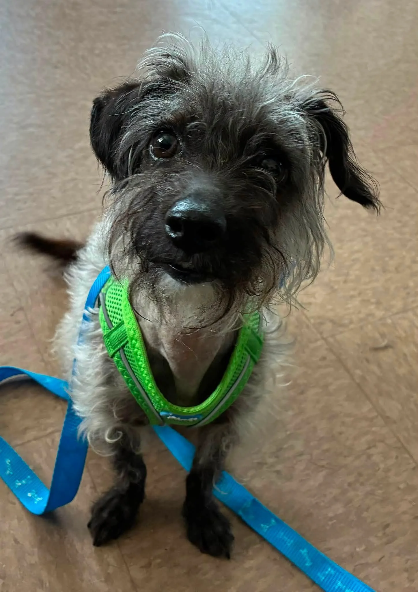
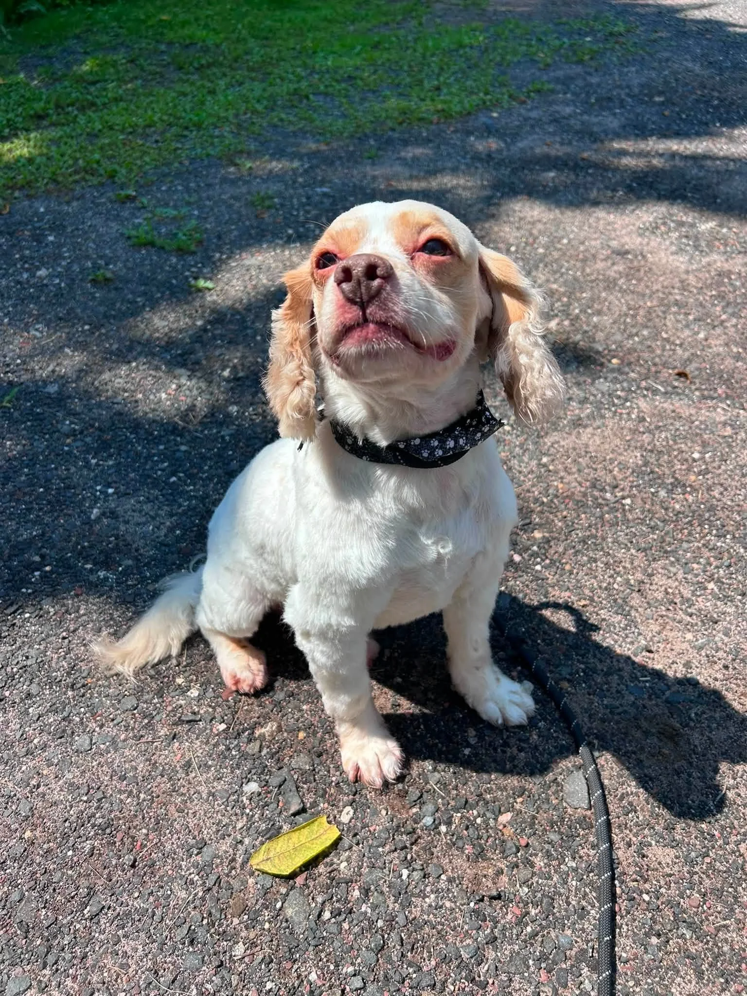
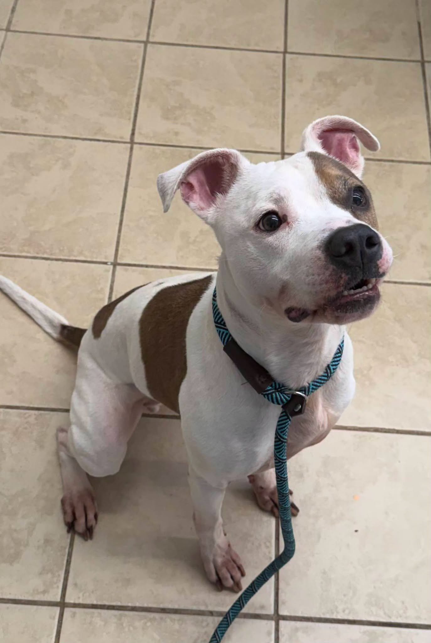
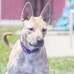
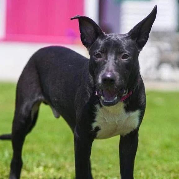
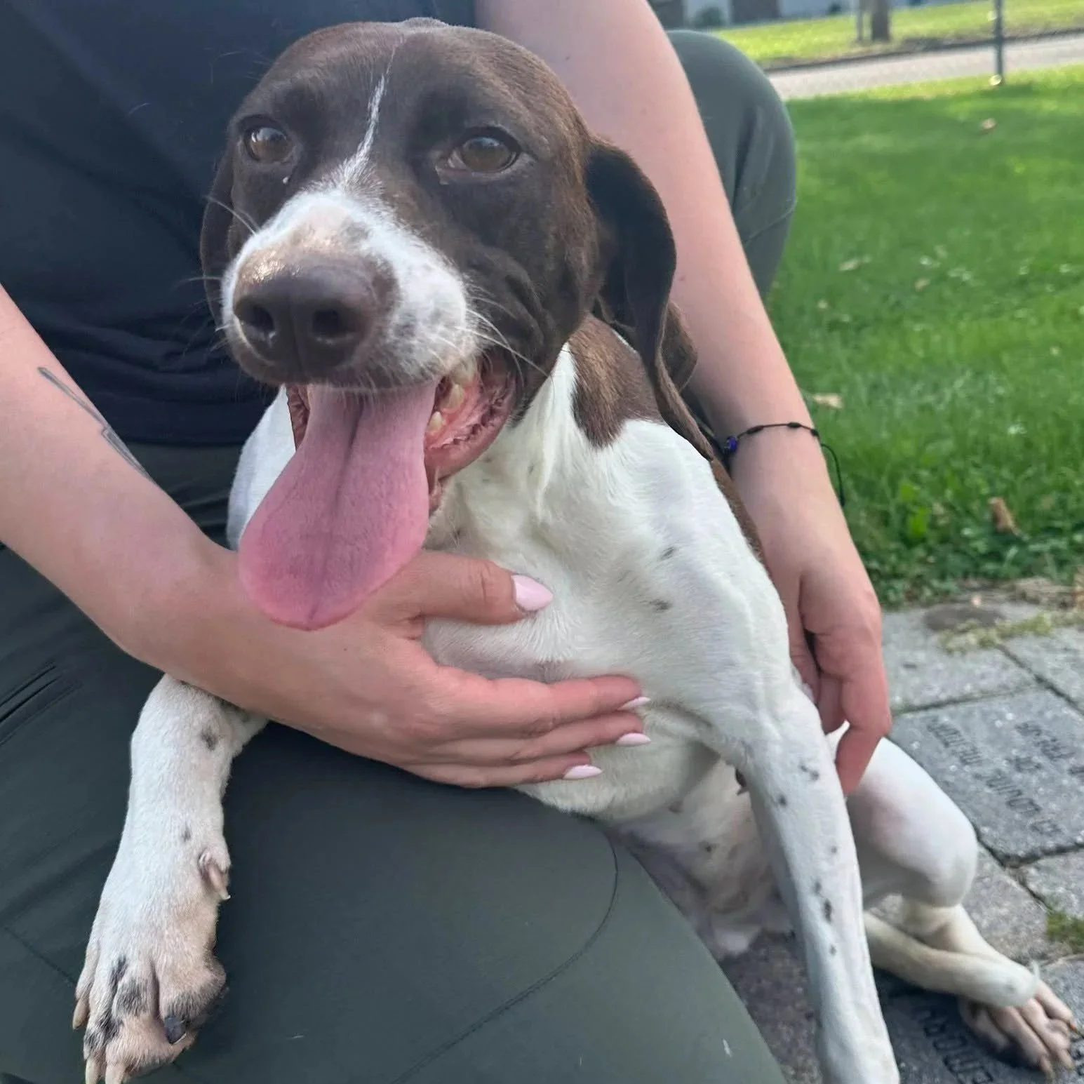
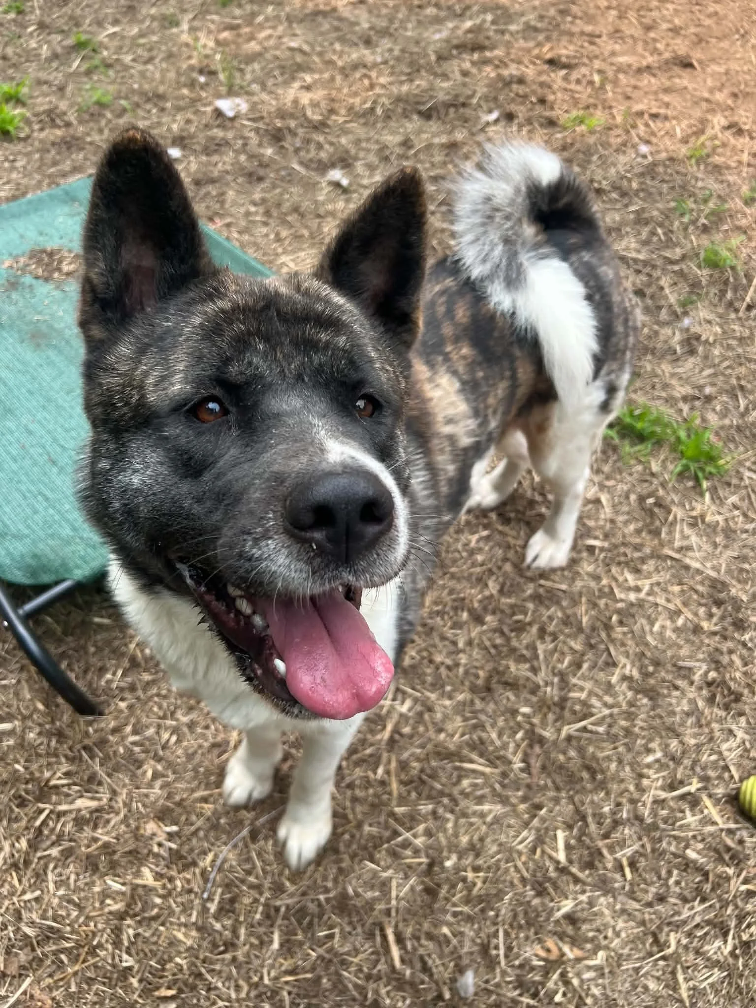
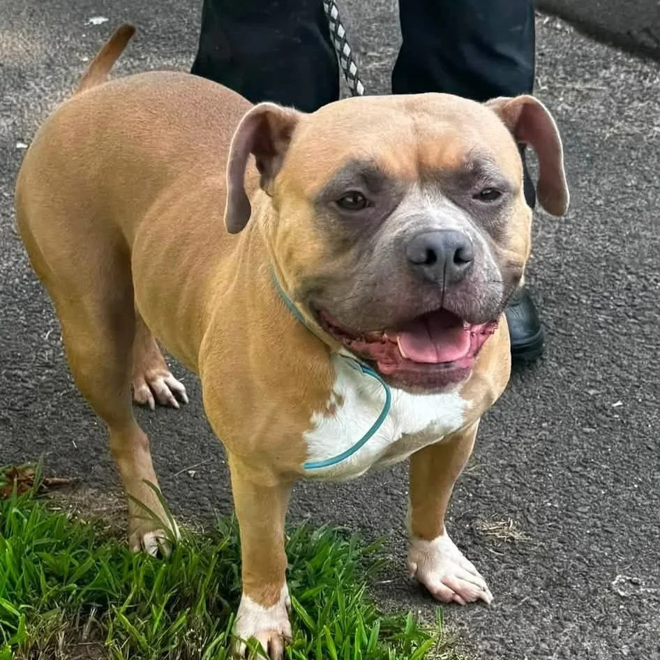
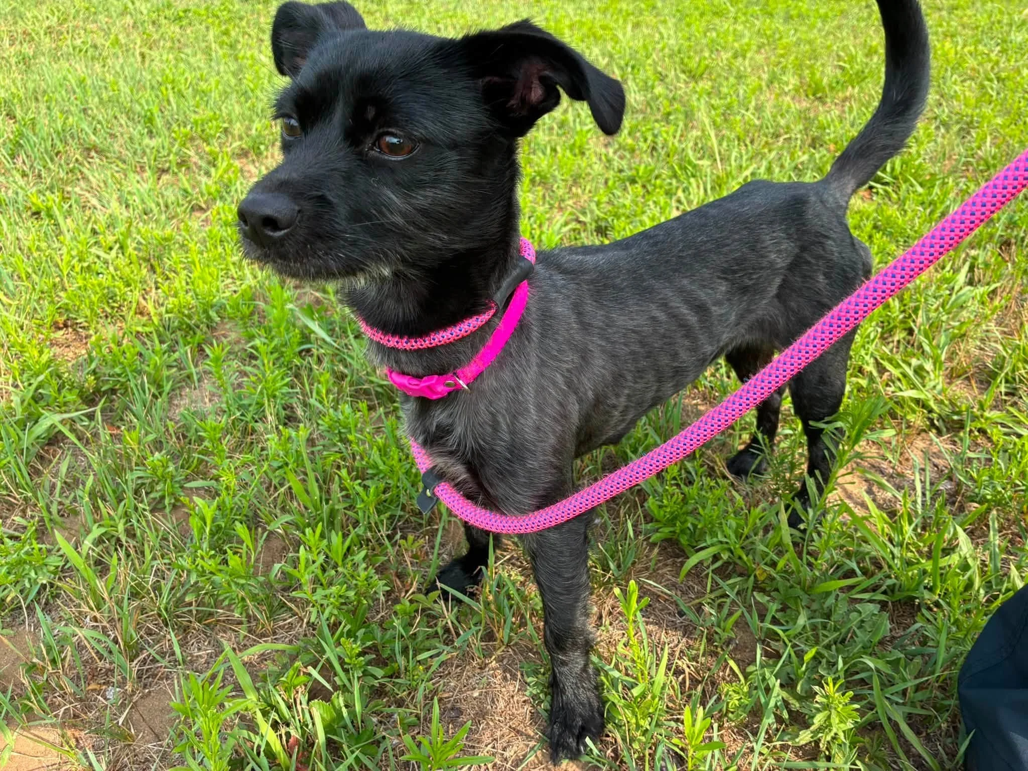
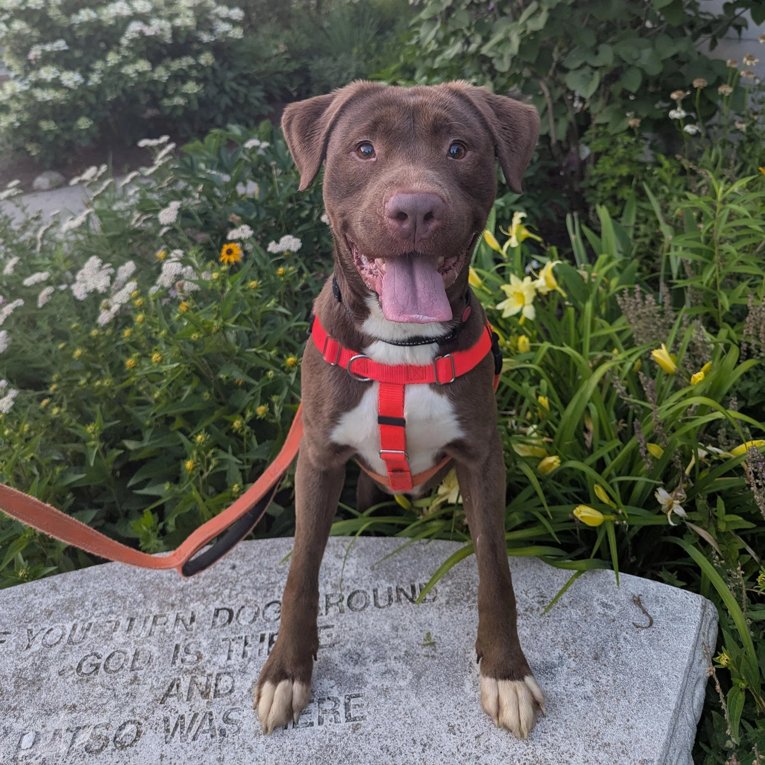
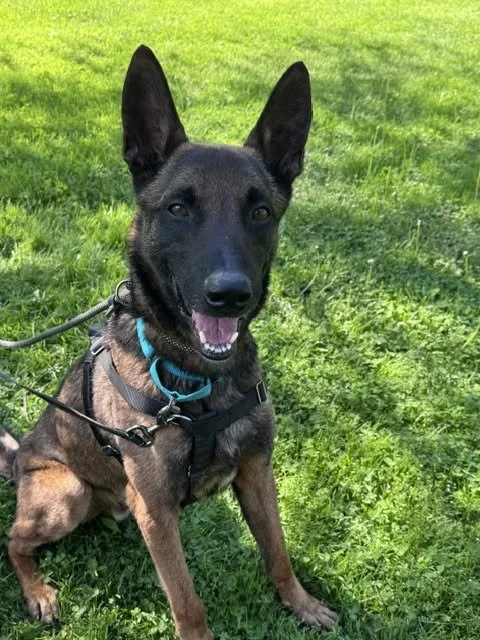
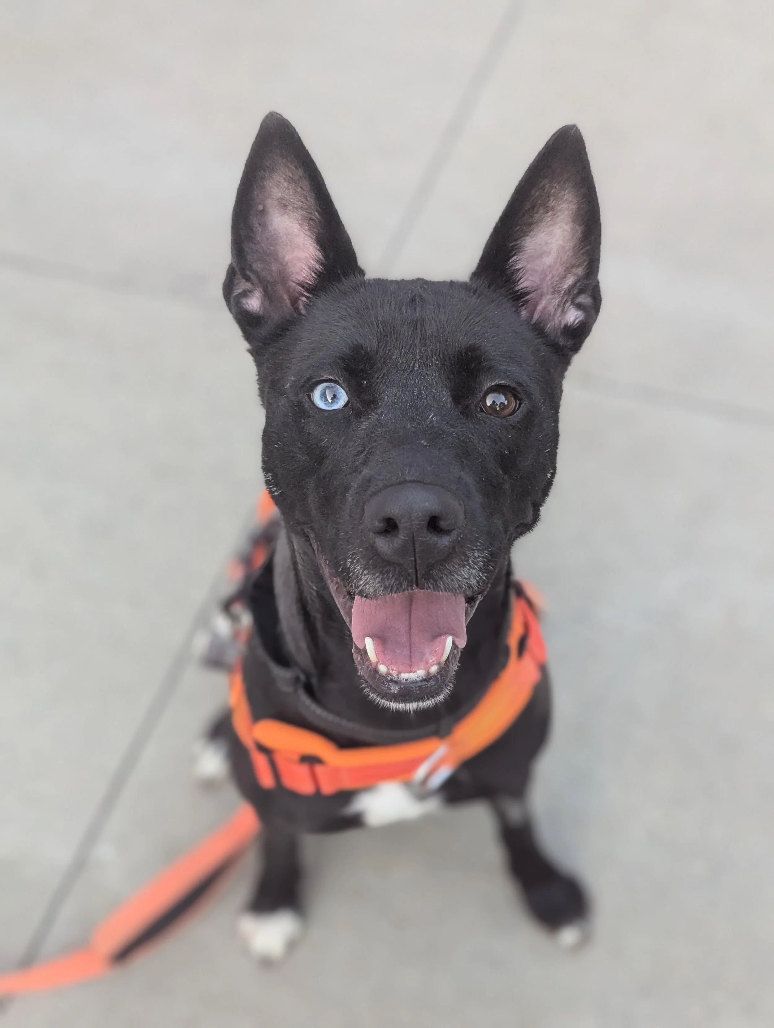
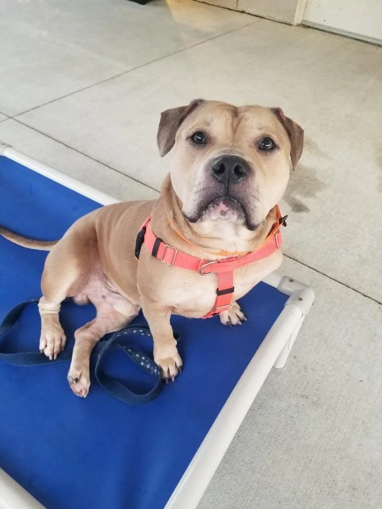
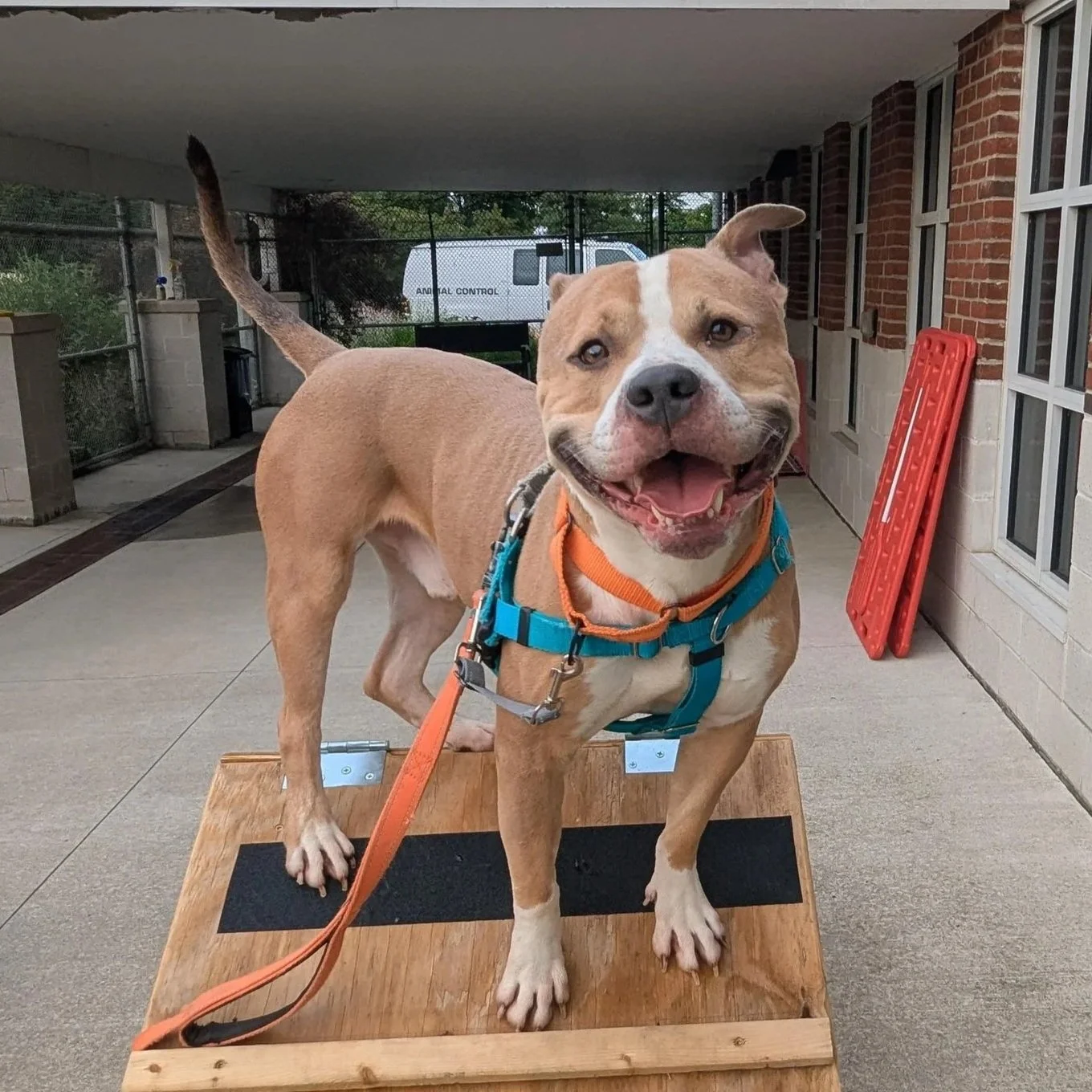
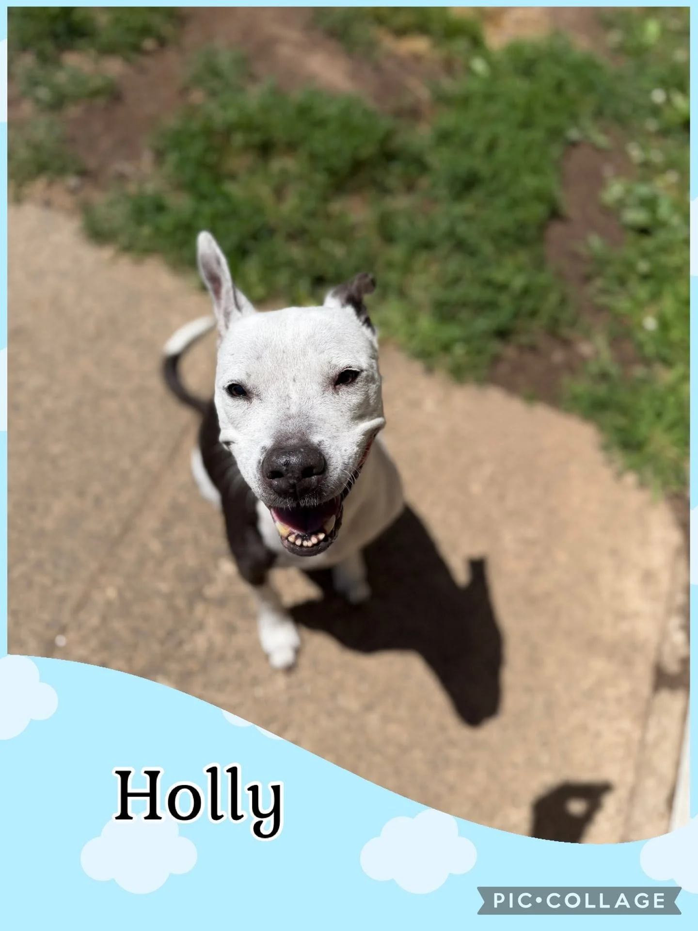
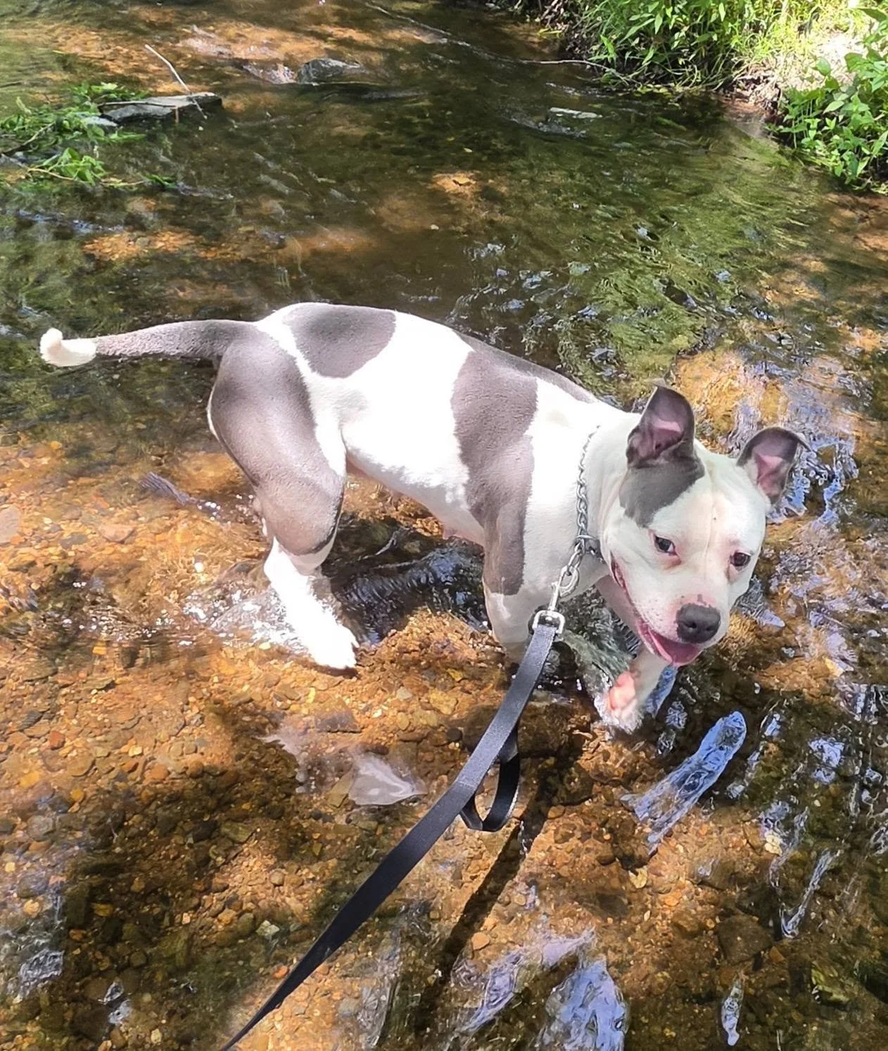
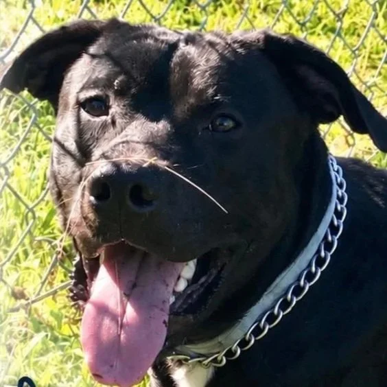
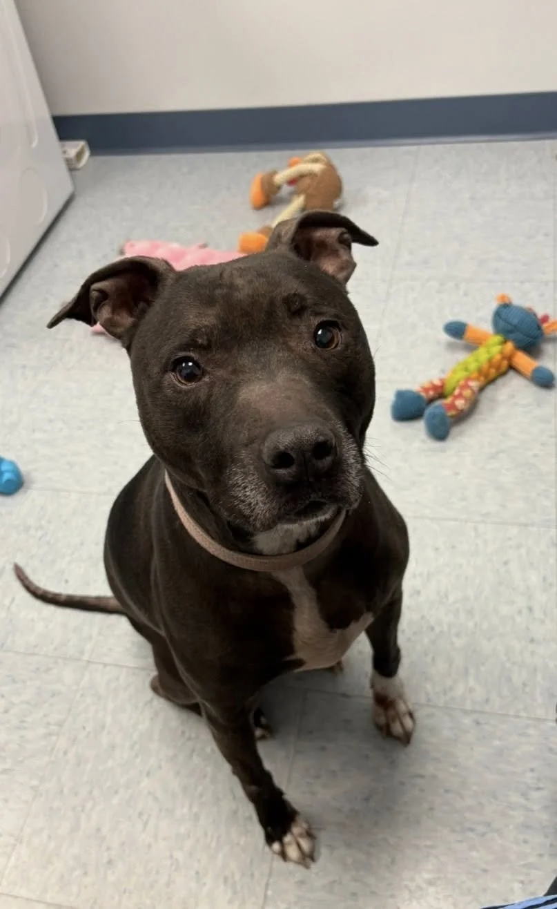
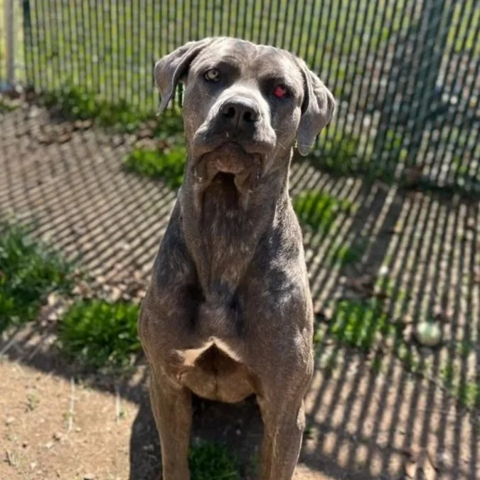
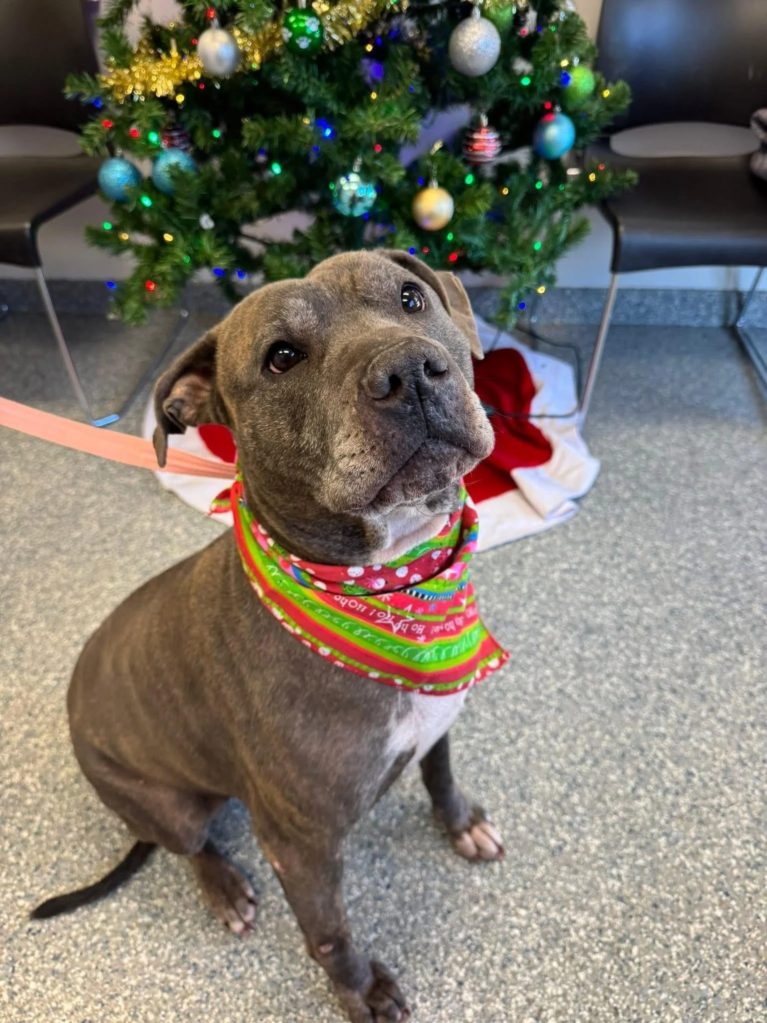
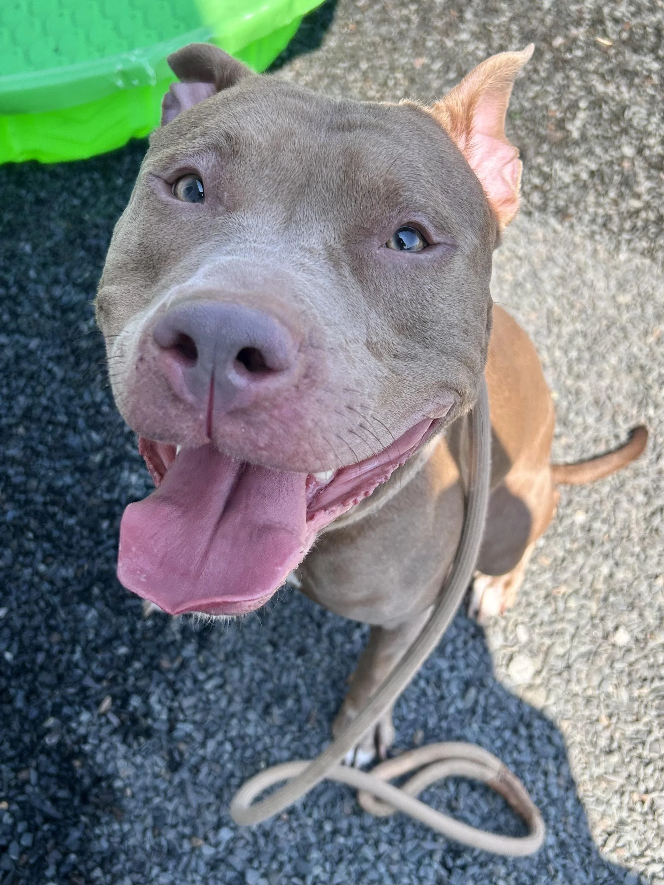
Meet Adoptable CT Shelter Dogs



The Main Highways In This Region Are:
I-395 is the most important limited-access highway in the Near Norwich region. It runs north-south through the Norwich area and provides the primary connection between Norwich, New London, northeastern Connecticut and Worcester, Massachusetts.
The Main Routes In This Region Are:
U.S. Route 2: Major east-west highway connecting Norwich with central Connecticut and communities west of the region.
U.S. Route 12: Important north-south route through Norwich and the Thames River corridor, continuing toward Ledyard and Preston.
Route 12A: Provides a local alternative through portions of the Norwich and Lisbon area.
Route 32: Major north-south highway connecting Norwich with Franklin to the north and Montville, New London and the shoreline to the south.
Route 82: Runs east-west through Norwich, Bozrah and Salem, providing an important connection between the Norwich area and the central Connecticut River region.
Route 2A: Serves the Norwich and Preston area and provides local connections between the region's major highways.
Route 97: Runs through Franklin and Sprague, providing a rural north-south connection through the interior portion of the region.
Route 138: Connects Norwich, Lisbon, Griswold and surrounding communities, providing an important east-west route across the northern portion of the region.
Route 169: Passes through North Stonington, providing a scenic north-south connection toward the Rhode Island border.
Route 165: Serves Preston and Griswold, connecting rural communities around the northern and eastern portions of the region.
Route 164: Runs through Preston and Norwich, providing another important connection between the rural interior and Norwich.
Route 49: Serves the Voluntown and North Stonington area, providing access through the eastern portion of the region.
Route 14A: Provides local connections around Norwich and surrounding communities.
To the North of this region is the “Lower Quiet Corner” Region
To the East is Rhode Island
To the South is the “Shoreline” Region
To the West is the “Central East” Region
Meet Freddie with Manchester CT animal control