
Near Danbury Region
The Near Danbury region sits in western Connecticut along the New York border, centered on Danbury and extending east into the wooded hills and rural communities. It is one of the state's strongest blends of suburban convenience and rural New England character, with a substantial commercial center in Danbury surrounded by lakes, forests, historic villages, farms and protected open space. Visitors can find everything from major shopping and entertainment to nationally recognized museums, historic sites, outdoor recreation and quiet country roads within a relatively compact area
Towns Included:
Danbury, Brookfield, Newtown, Bethel, Redding, Ridgefield

The Main Cities Of This Region Are:
Danbury is a genuine small city and the commercial and transportation center of western Connecticut, with considerably more activity than the surrounding towns. Its downtown has restaurants, entertainment and historic sites, while the larger commercial corridors around the city contain major shopping, hotels and everyday conveniences; Danbury Fair is one of Connecticut's largest shopping destinations. Despite that urban and suburban activity, Danbury also has substantial open space, Candlewood Lake access, hiking trails and parks, so the city can shift surprisingly quickly from busy commercial corridors to woods and water.
Major regional draws
Museums, History & Heritage
Danbury Railway Museum
Danbury Museum & Historical Society
The Aldrich Contemporary Art Museum
Keeler Tavern Museum & History Center
Putnam Memorial State Park
Newtown Historical Society & Matthew Curtiss House
Parks, Lakes & Outdoor Recreation
Candlewood Lake
Tarrywile Park
Collis P. Huntington State Park
Bear Mountain Reservation
Wooster Mountain State Park Scenic Reserve
Still River Greenway
Performing Arts & Entertainment
The Ridgefield Playhouse
Ives Concert Park
The Palace Theatre
Musicals at Richter
Edmond Town Hall
Farms, Nature & Conservation
New Pond Farm Education Center
Centennial Watershed State Forest
Redding Land Trust Preserves
Topstone Park
Farrington Woods
Unique Attractions & Family Destinations
Danbury Fair
Xtreme Play Adventure Park
Danbury Duckpin Lanes
EverWonder Children's Museum
Brookfield Craft Center
John Oliver Memorial Sewer Plant
Historic Towns & Distinctive Places
Bethel Historic Downtown
Ridgefield Historic District
Sandy Hook Center
Redding Center Historic District
Ridgebury Historic District
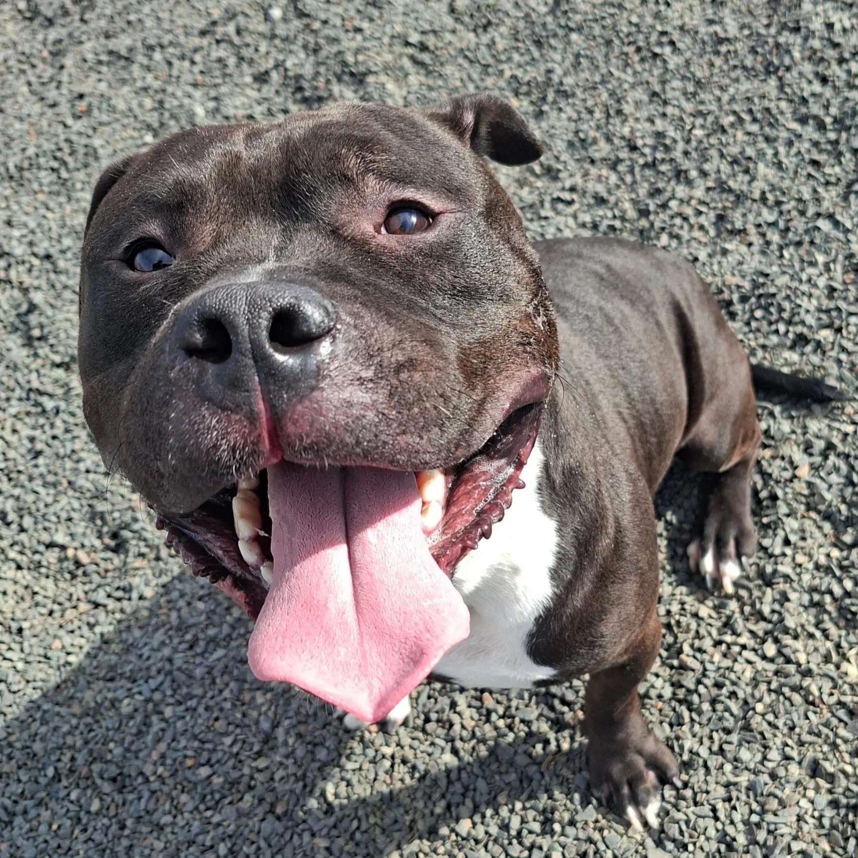
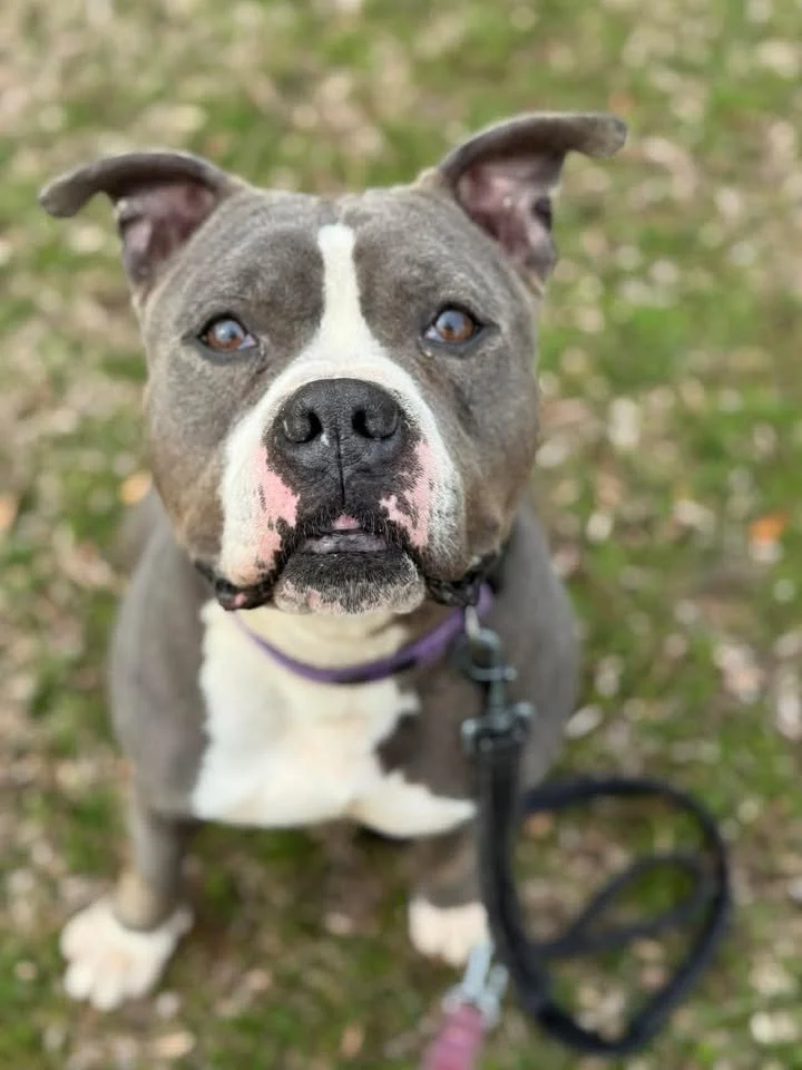
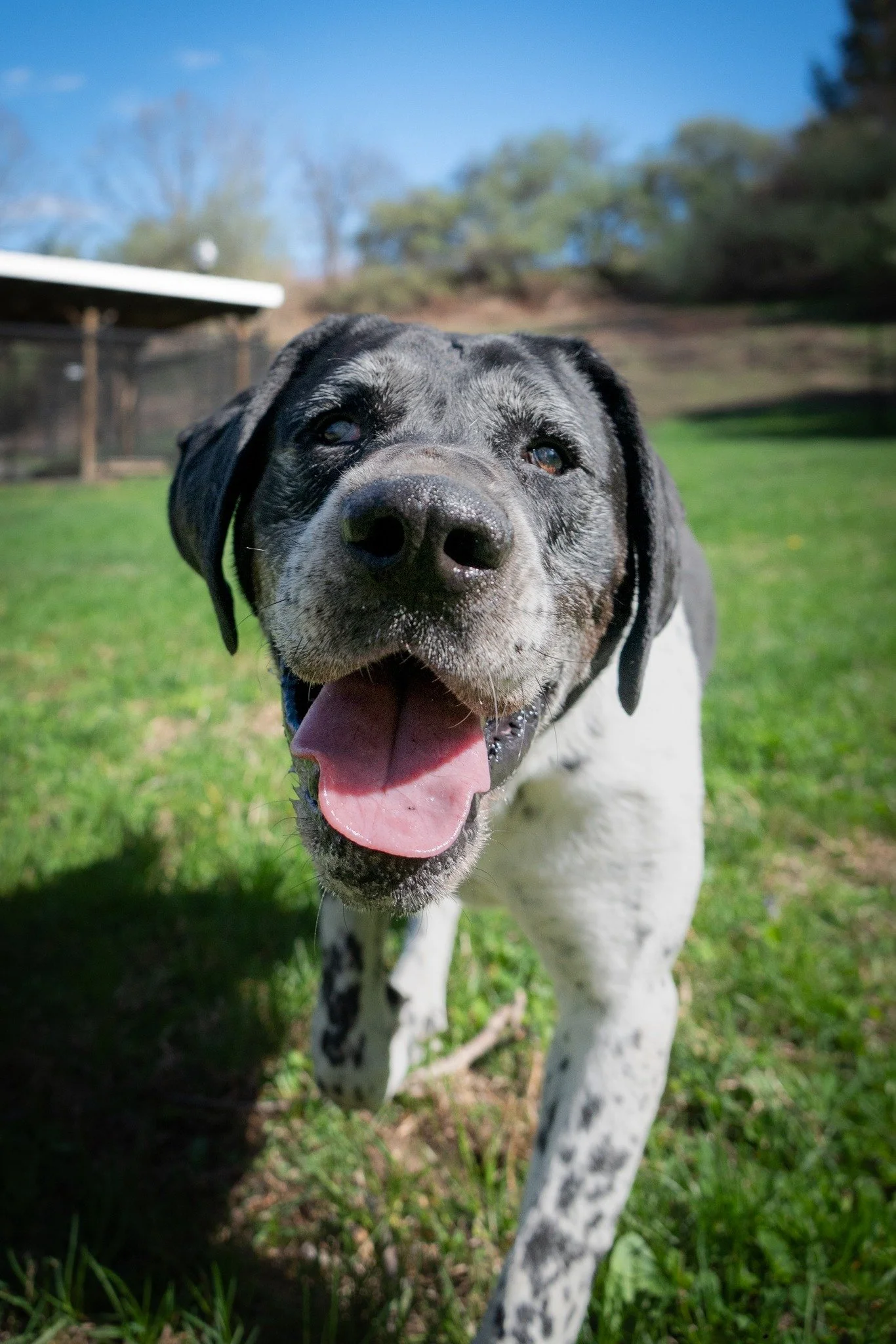
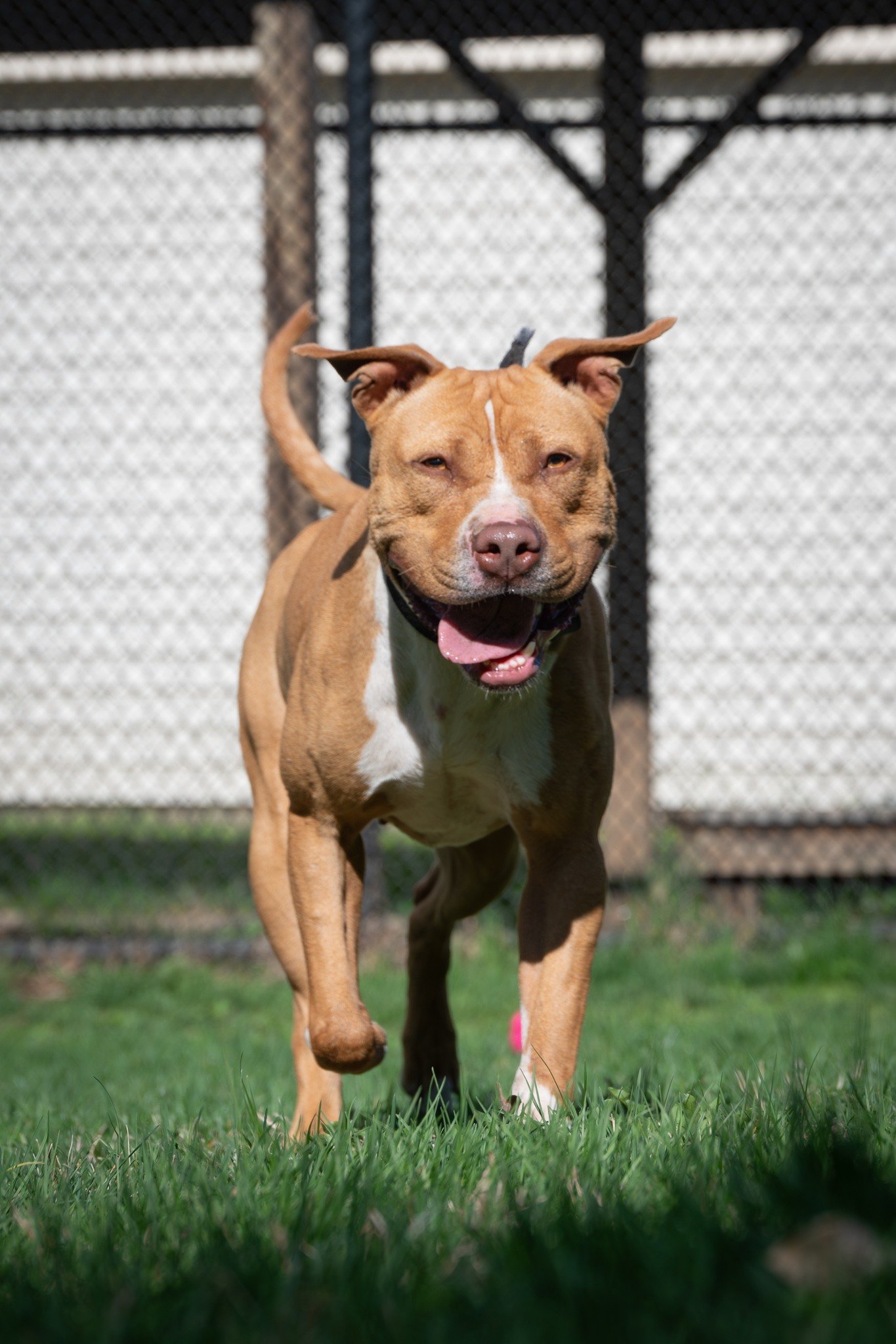
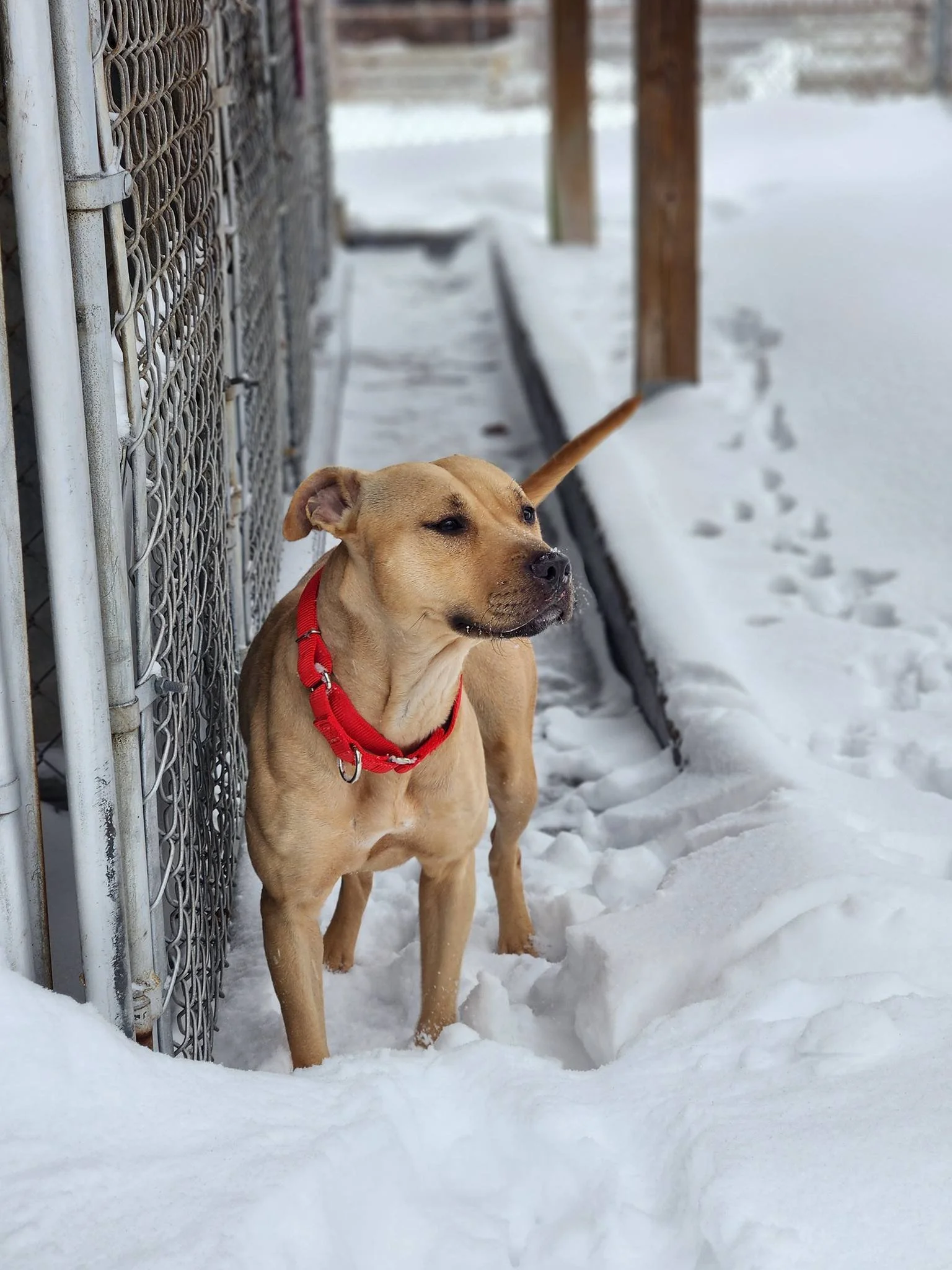
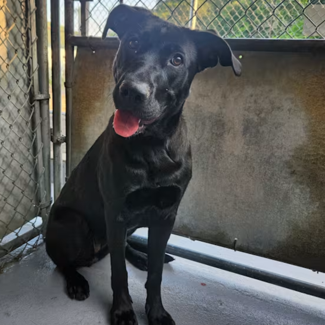
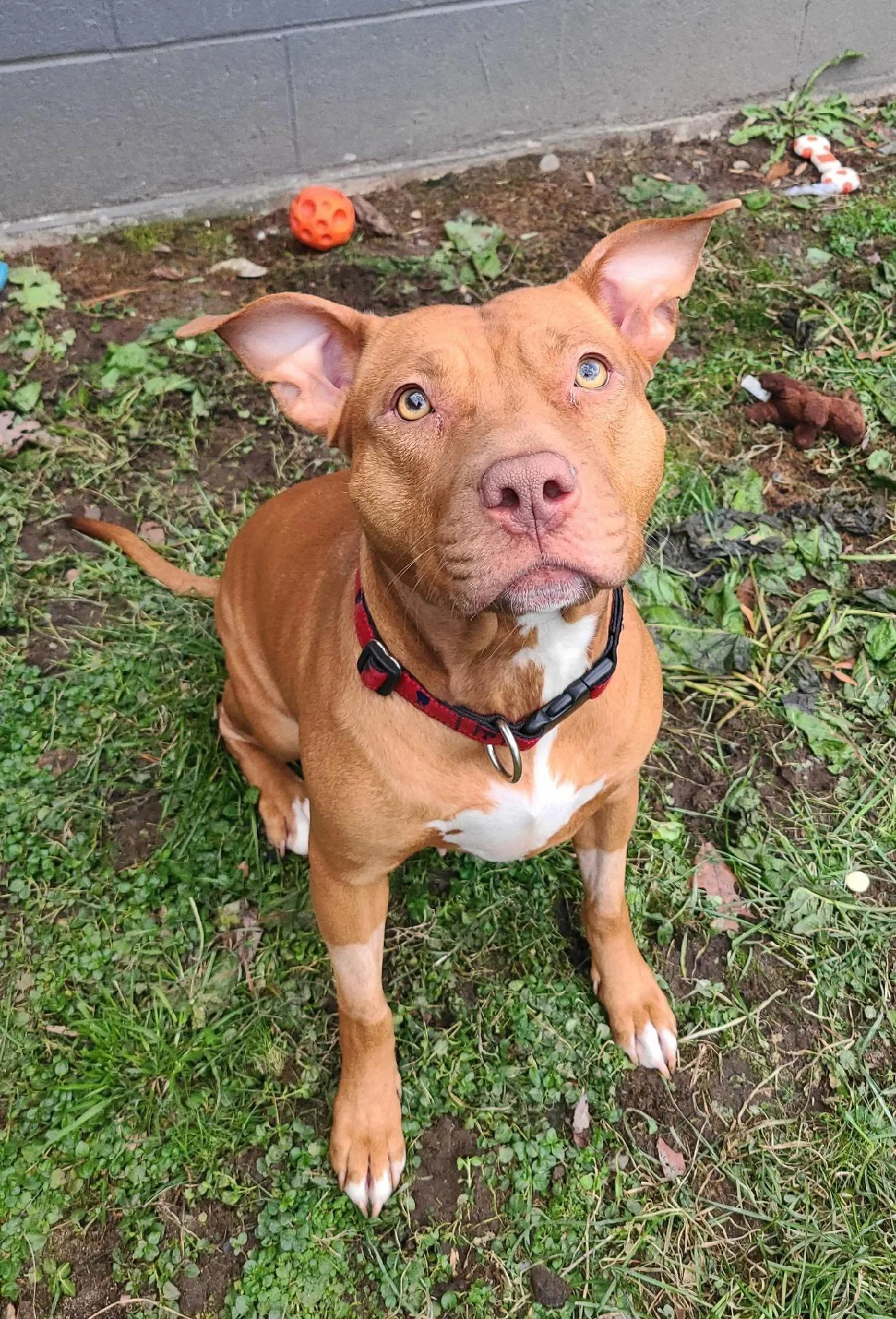
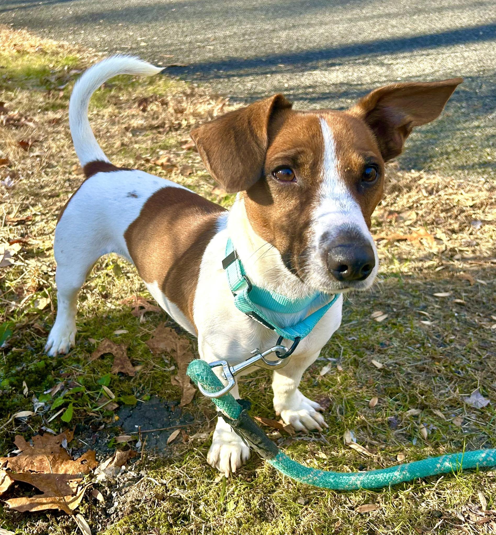
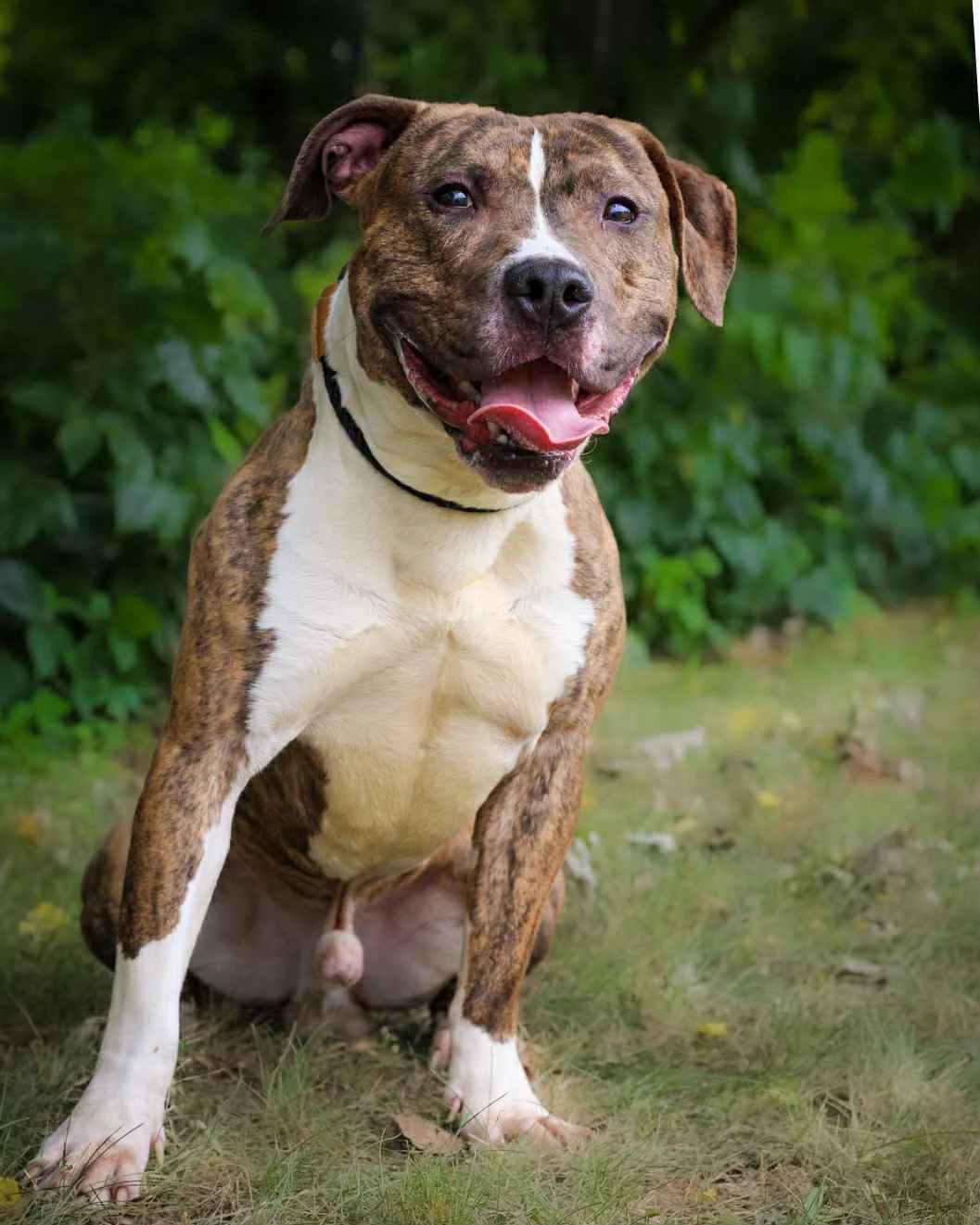
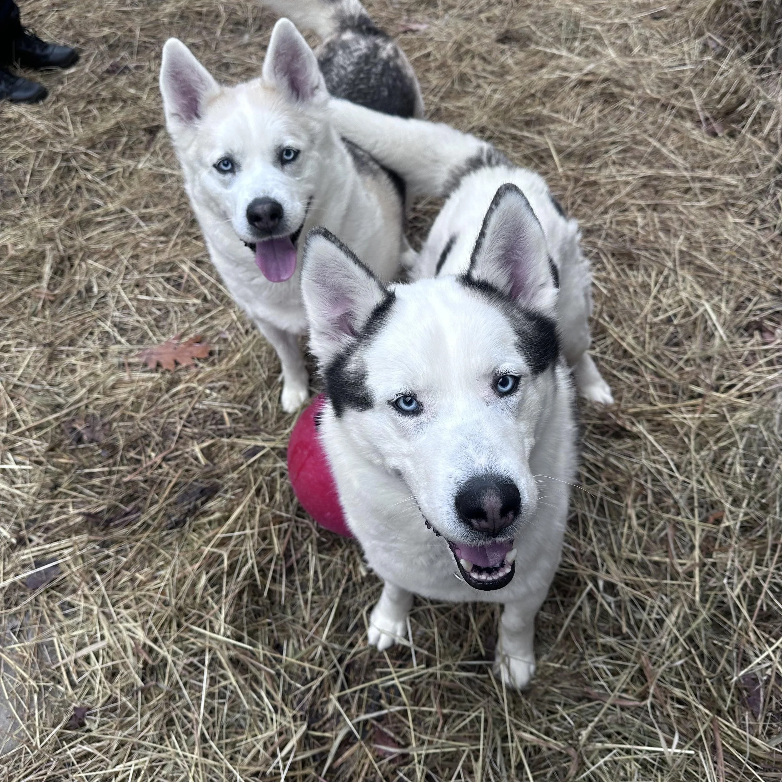
Meet Adoptable CT Shelter Dogs Waiting For A Home






The Main Highways In This Region Are:
I-84 is the primary highway through the region and the major east-west transportation corridor connecting Danbury with New York, Hartford and the rest of Connecticut. It crosses Danbury, Bethel and Brookfield, with additional access to Newtown, and carries a very large amount of regional and through traffic.
U.S. Route 7 operates as a limited-access expressway through much of the Danbury/Brookfield portion of the region. It overlaps I-84 in Danbury before splitting north and continuing toward Brookfield and New Milford, making it one of the region's most important north-south transportation routes.
The Main Routes In This Region Are:
U.S. Route 6: A major east-west route through Danbury and Newtown, connecting the region with New York to the west and central Connecticut to the east. In Danbury it shares portions of the highway network with I-84 and other U.S. routes.
U.S. Route 7:The major north-south corridor through Danbury and Brookfield and one of the most important roads in western Connecticut. The expressway section north of Danbury provides a fast connection toward New Milford, while Route 7 continues south through Ridgefield as a conventional highway.
U.S. Route 202 :Runs through Danbury and Brookfield and continues toward New Milford, forming an important east-west/northwest connection through the region. Portions share pavement with U.S. 7 and I-84.
Route 25: A major north-south route connecting Newtown with Brookfield and the Bridgeport area. The southern portion is freeway-standard, while the northern section becomes a conventional highway as it approaches Brookfield.
Route 33: Runs through Ridgefield and provides a major connection toward Redding and Wilton. In Ridgefield it follows Main Street and Wilton Road West.
Route 35: A principal route through Ridgefield, running through the town center and connecting with U.S. 7. It is one of the major roads serving the Ridgefield portion of the region.
Route 37: Runs north-south through Danbury and serves as an important connection toward New Fairfield and the Candlewood Lake area. It provides one of the principal surface-road alternatives to the I-84 corridor.
Route 39: Runs from Danbury toward New Fairfield and Candlewood Lake, serving the northern/western portion of Danbury and providing access toward the New York border.
Route 53: Runs through Danbury, Bethel and Redding before continuing south toward the Housatonic Valley and Newtown area. It is an important north-south route through the interior of the region.
Route 58: Runs through Bethel and Redding and is one of the principal roads serving the eastern side of the region.
Route 302: Connects Bethel with Redding and the surrounding communities, serving as an important east-west route through the rural interior.
Route 107: Runs through Redding and provides a secondary connection between the town and neighboring communities toward Danbury and Ridgefield.
To the North of this region is the “Lower Litchfield Hills” Region
To the East is the “Near Waterbury” and the “Near Bridgeport” Regions
To the South is the “New York 2.0” Region
To the West is New York
Meet Shania Twain with Bridgeport animal control